| |
The services provided by Diane du Plessis GIS consultancy
include:
Digital dataset compilation
The integrated various formats of data into a single system, for the
input, storage, analysis, and output of spatial information.
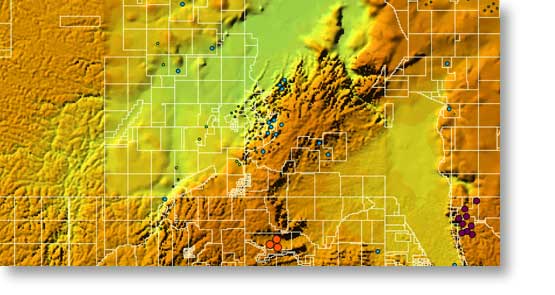
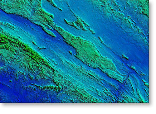
DTM, Permits, and Mineral Occurences
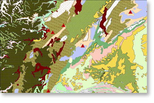
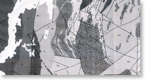
Lithology and Existing Mines
Lithology, Existing Mines, Permits, and Mineral Occurences draped over
regional DTM
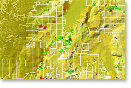
Lithology, Mineral Occurences and Permits
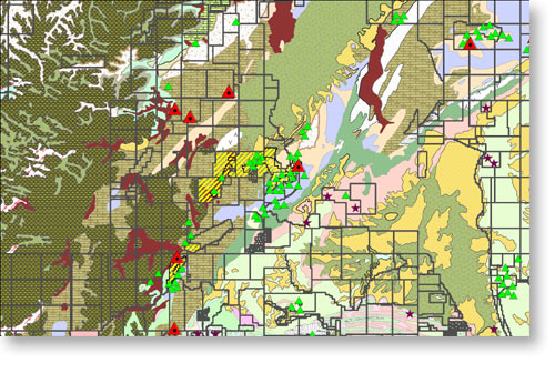
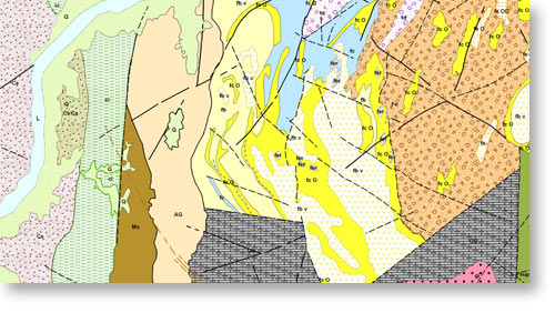
Lithology, Geological Structure, Mineral Occurences and Permits
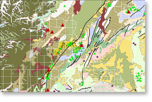
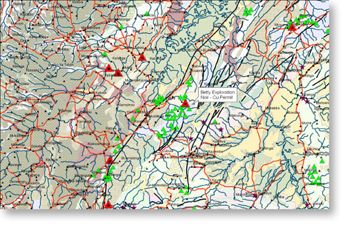
Lithology, Geological Structure, Mineral Occurences, Roads, Rivers,
towns and the Identification of a Permit
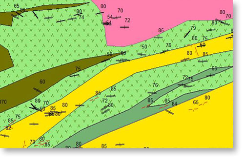
Displaying Structural Measurements: Dips and Strikes
Spatial analysing of Health, Safety and Environmental:
- Wind and dust monitoring on site;
- Health Spatial buffering e.g. Ebola, meningitis or malaria outbreaks;
- Spatial design of control measures;
- Potential flood plains of rivers; and
- Spatial identification of environmental sensitive area.
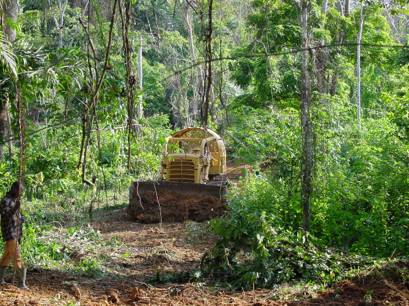
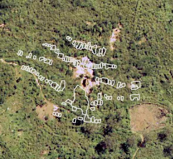
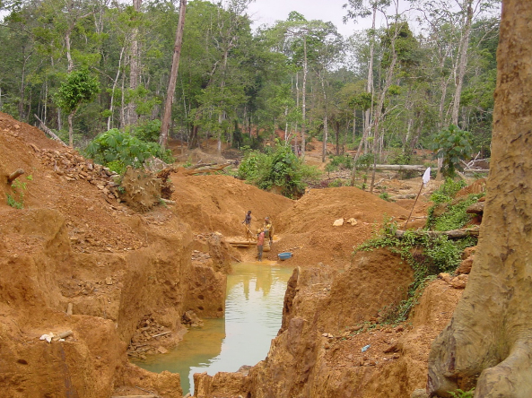
Spatial Artisanal Miners Monitoring:
- Whether the artisanal miners are referred to as zama zamas, galamsey, small scale licences, illegal miners, informal mining, garimpeiros, or orpailleur;
- We spatially track their activities, whether they are managed, just one miner or a small company with a pump/generator/a front loader truck;
- How many workers, babies on backs? Children, Women or Men are involved in the process;
- What is the timeframe of the mining?
- What and where are the miners recovering ore?
- What processing method the artisanal miners are using– mercury?
- Who are they sell on to and what are the profit margins?
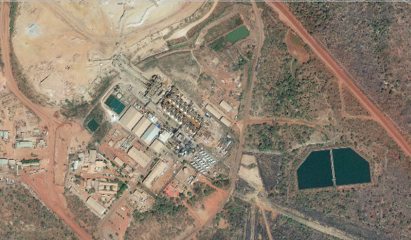
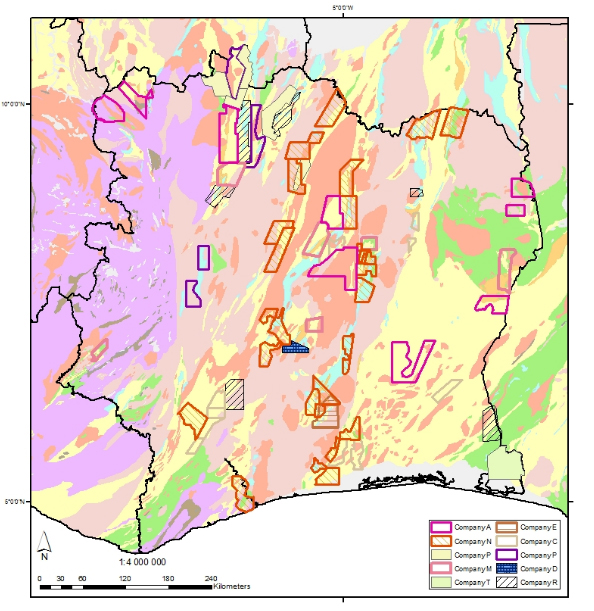
Competitive Company Monitoring with in a GIS:
- Identifying the operating company and at what stage the exploration at grassroots is, drilling, pre- feasibility, feasibility, operating mine, an historical mine or mine closure etc.
- Researching, tracking and monitoring of the mineral Intelligence globally;
- Ranking which properties are releasing interesting results, for potential business decisions;
- Which licences correspond with geological belts and target zones; and
- Spatial identifying the relation of licences and environmental sensitive areas, reserves and protected areas.
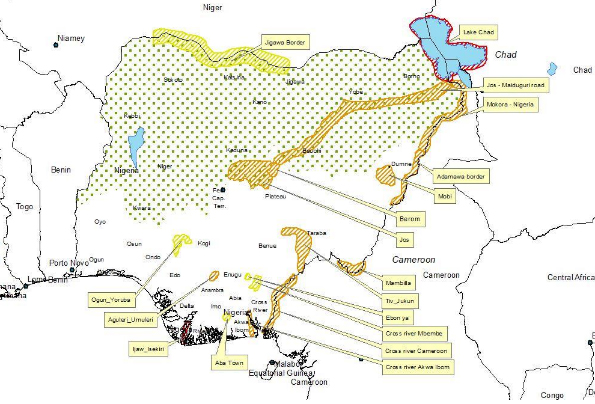
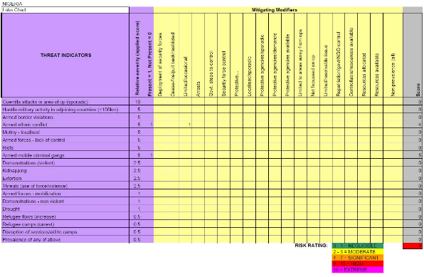
Spatial Security Risk Management Monitoring:
(In association with John Adam Security Risk Consultant)
- Dymanic spatial risk maps in association with current risk matrix;
- Background and assessment development of the region;
- Conflict drivers and indicators;
- Key risks drivers;
- Key variables and uncertainties;
- Outlook; and
- Areas of conflict and banditry.
Customised on site exploration GIS training
- Functionality: ArcMap, ArcCatalogue and ArcToolbox
- Importing various data formats into ArcGIS including: e.g. geochem
.xls, geophysics/ remote sensing .tiff or.ecw, lithology. shp (polygon),
structure .dxf and public domain data e.g. raster- geology maps, vector
-roads and tow.
- Explaining and creation of ArcGIS data files types: shapefiles
polygon, line, point feature types.
- Maintaining and creating attributes tables for features.
- The importance of attributing, adding value to a GIS for table
queries.
- Symbology and the customisation of symbology for lithology, geochem
and structure themes for the geologist.
- Querying attributes e.g. multi element geochem data identifying
correlations in various elements.
- Exporting of queries.
- Creating of layer files.
- Displaying dips and strike.
- Labeling features.
- Projections and defining projections and datum for a single file
and a project.
- Georeferencing of images.
- Digitising of imagery and geology maps.
- Data view and layout views.
- Cartography: creating map layout: including title, legend, scale
bar, north arrow, title, map location on server or drives.
- Data management and naming conventions.
- Creating and maintaining metadata.
- Creating .mxd projects.
- Importing existing .mxd in to current views.
- Exporting final maps into presentations format.
- Exporting layer to .kml and map to .kml

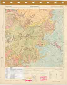
Scanning of various map format
- The digital scanned raster image of the original map or plan of
varied sized
A3, A2, A1 and A0
- Full colour and B/W scanning A3, A2, A1 and A0
- Numerous raster formats available.
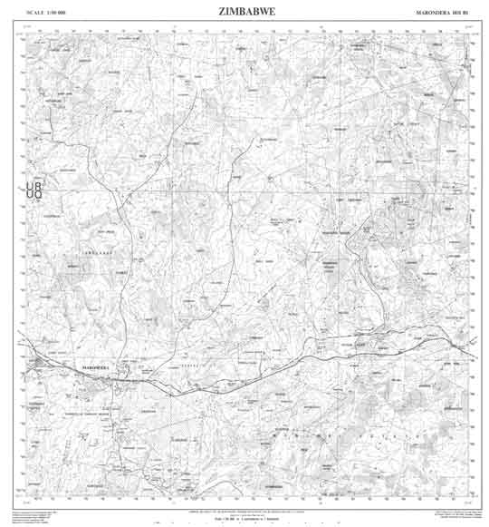
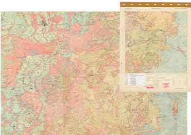
Georeferencing of maps
- Assigning spatial attributes and geographical projections to a
raster or vector file.
- Enabling various sources of information to be project and spatially
married.
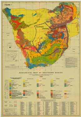
Integrating legacy data in to current active projects
Irrespective of the age of geological maps, the maps can be successfully
integrated into current projects.
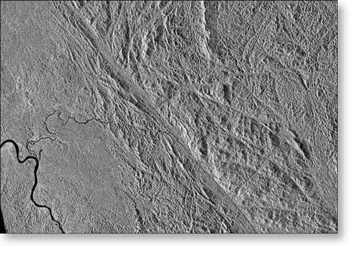
Sourcing datasets
Databases and imagery Satellite images, Landsat ASTER, IKONOS, Quickbird
Data Capture
Creating of fully attributed GIS products.
The digitising / vectorisation of paper map to digital GIS product.
|
|